8 JUL 2018 / By Right Click Orbit / 0 Comments
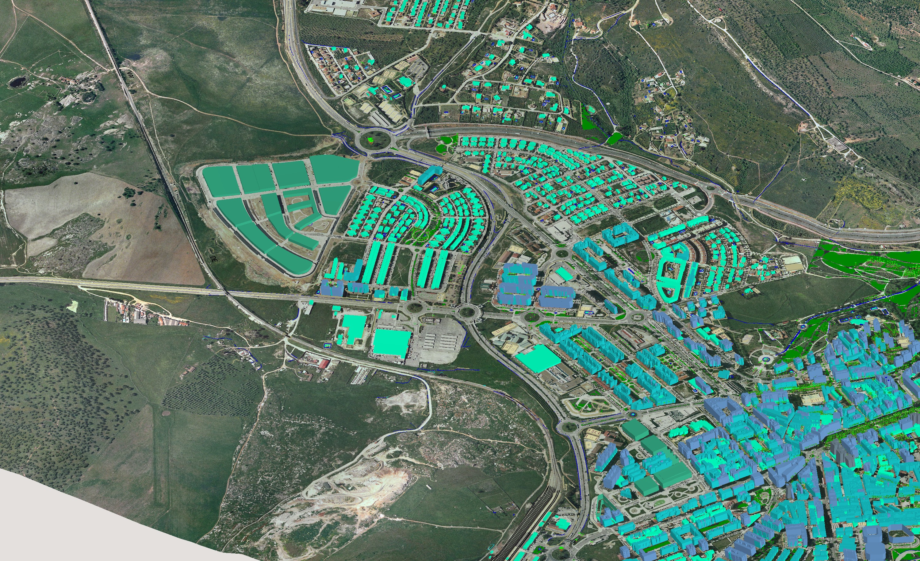
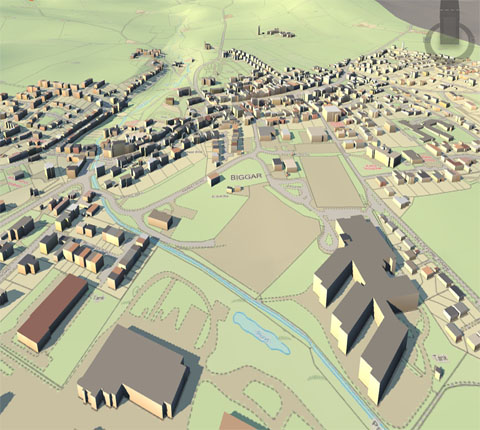
There is so much that you can do with a GIS technology, the most common example is making layers with data showing all sorts of different variables of a community to help inform decision makers and inform the public. For example, my hometown of Syracuse could really use (and publicize) housing information. A useful application would be to see how many vacant houses are in the city, and map that with educational levels, income, etc. This data hopefully exists somewhere in the city, but making a visual representation and sharing with the public, will help drive action and inform decisions.
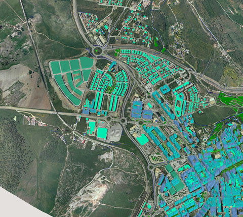
GIS has multiple applications, one area we are seeing a lot of impact is in crisis management. During an emergency, officials need to be able to quickly connect and collaborate with each other. This is now easier to do than ever before with modern technology. With GIS technology, information can be instantly shared and updated in real-time – this information allows decision makers to improve their decision making during a crisis and allocate resources to the proper locations. At all levels of government, GIS can be used to help improve transparency, identify at risk communities and be used to help manage critical resources of the community.
But that’s just the start, here are my Top 10 benefits of GIS:
Comments are disabled.

By RCO /3
By RCO /15
By RCO /11


rightclickorbit.com, one of the largest online repositories of maps since 2017, offers Geospatial services and products, specific to clients' requirements. RCO have a specialized team of cartographers, geographers, CAD designers, GIS experts and consultants, who provide GIS mapping services with quick turnarounds and accurate results.