About Us
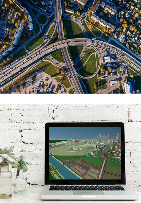
Company Overviewrightclickorbit.com, one of the largest online repositories of maps since 2017, offers Geospatial services and products, specific to clients' requirements. RCO have a specialized team of cartographers, geographers, CAD designers, GIS experts and consultants, who provide GIS mapping services with quick turnarounds and accurate results. Our GIS offerings include ready-to-use GIS shape files with updated and verified data.
100+
Engineers & Workers
150+
Projects Completed
110+
Ongoing Projects
Geodatabase conversions, customized mapping solutions, data creation and mapping of cadastral and administrative GIS features and GIS consulting.
Read More

Who We Are?
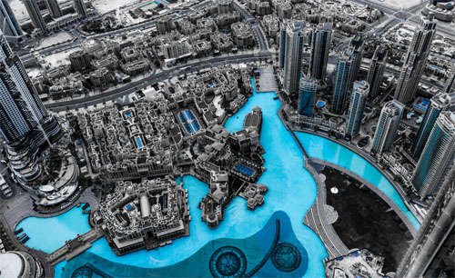
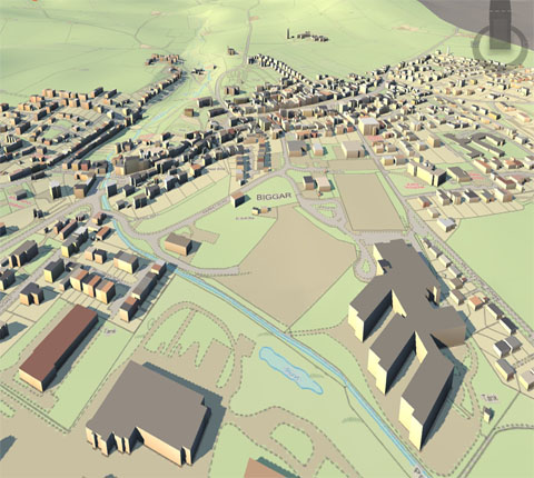
Defining MilestonesWe apply our geospatial expertise across many of our projects each with varying needs. We do everything from fully custom Platform as a Service (PaaS) solutions built specifically to meet your workflows to tailored backend service and visualizations on web, mobile, and desktop clients. Geospatial data visualizations & cartography Data extraction, transformation, loading, and enrichment Leverage best of breed open-source and commercial.
1800+
Engineers & Workers
1800+
Engineers & Workers
1800+
Engineers & Workers
GIS technologies Utilize cost efficient and reliable serverless GIS approaches.
Read Moreanalysis
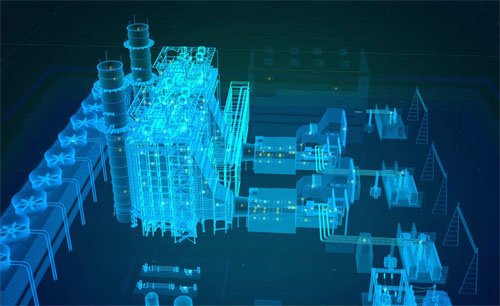
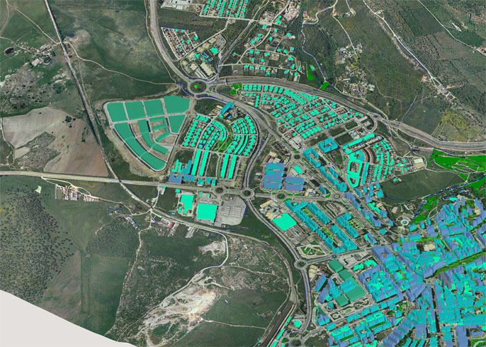
GIS Spatial AnalysisGIS spatial analysis is a rapidly changing field, and GIS packages are increasingly including analytical tools as standard built-in facilities, as optional toolsets, as add-ins or 'analysts'. In many instances these are provided by the original software suppliers, while in other cases facilities have been developed and are provided by third parties. Furthermore, many products offer software development kits (SDKs), programming languages and language support, scripting facilities and/or special interfaces for developing one's own analytical tools or variants.
1800+
Engineers & Workers
1800+
Engineers & Workers
1800+
Engineers & Workers
Geospatial intelligence, based on GIS spatial analysis, has also become a key element for security. GIS as a whole can be described as conversion to a vectorial representation or to any other digitisation process.
Read More
Technology
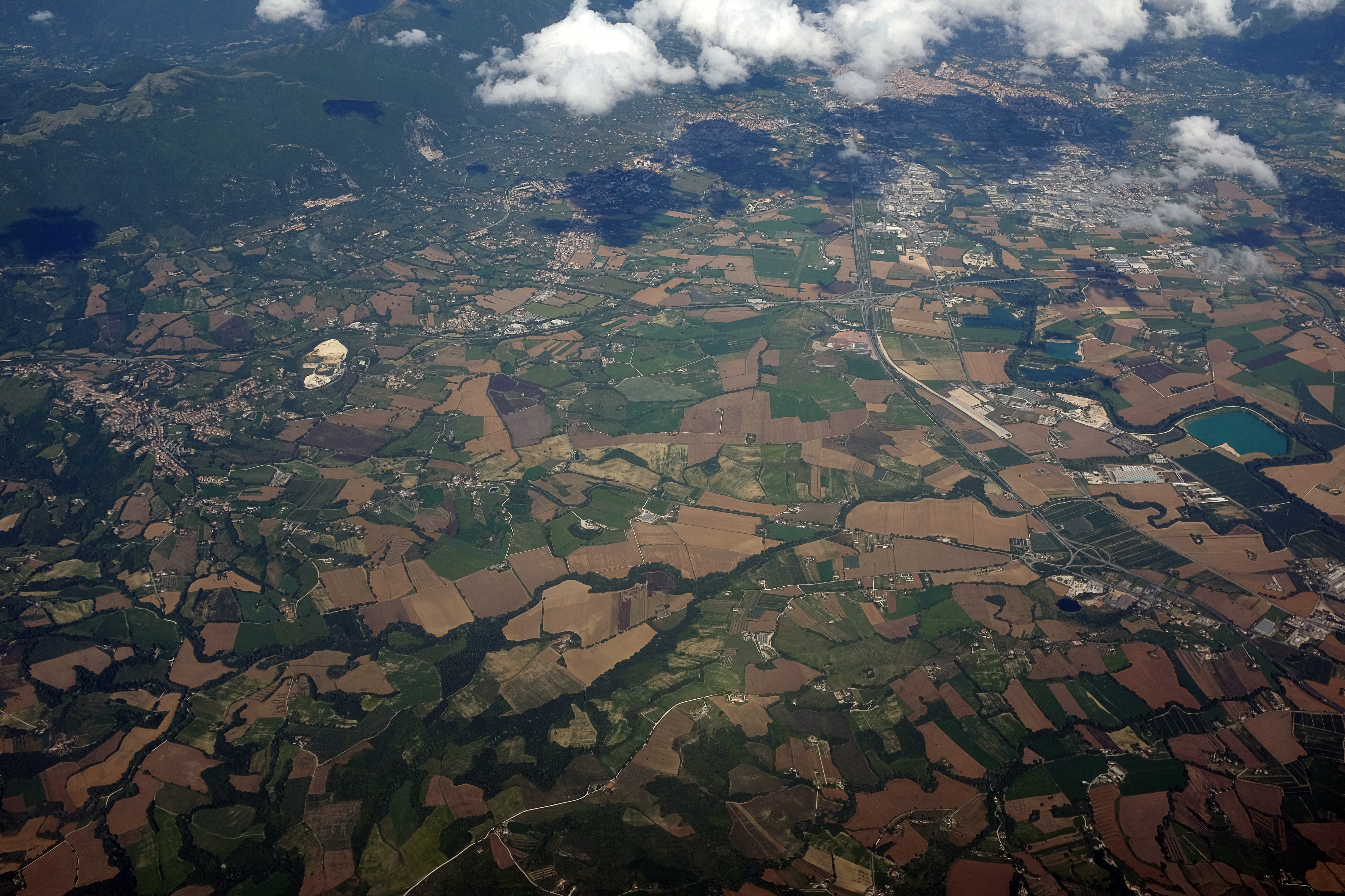
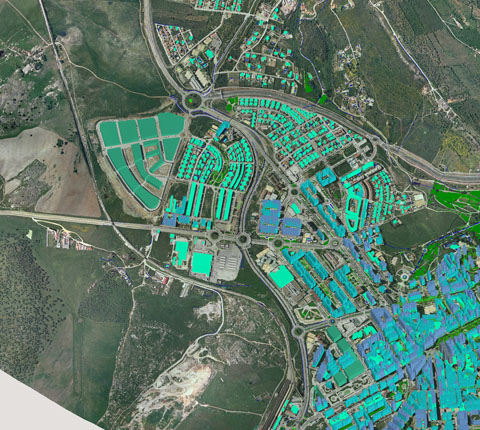
Techniques and technologyModern GIS technologies use digital information, for which various digitized data creation methods are used. The most common method of data creation is digitization, where a hard copy map or survey plan is transferred into a digital medium through the use of a CAD program, and geo-referencing capabilities. With the wide availability of ortho-rectified imagery, heads-up digitizing is becoming the main avenue through which geographic data is extracted.
1800+
Engineers & Workers
1800+
Engineers & Workers
1800+
Engineers & Workers
Heads-up digitizing involves the tracing of geographic data directly on top of the aerial imagery instead of by the traditional method of tracing the geographic form on a separate digitizing tablet.
Read More