6 SEP 2017 / By Right Click Orbit / 0 Comments
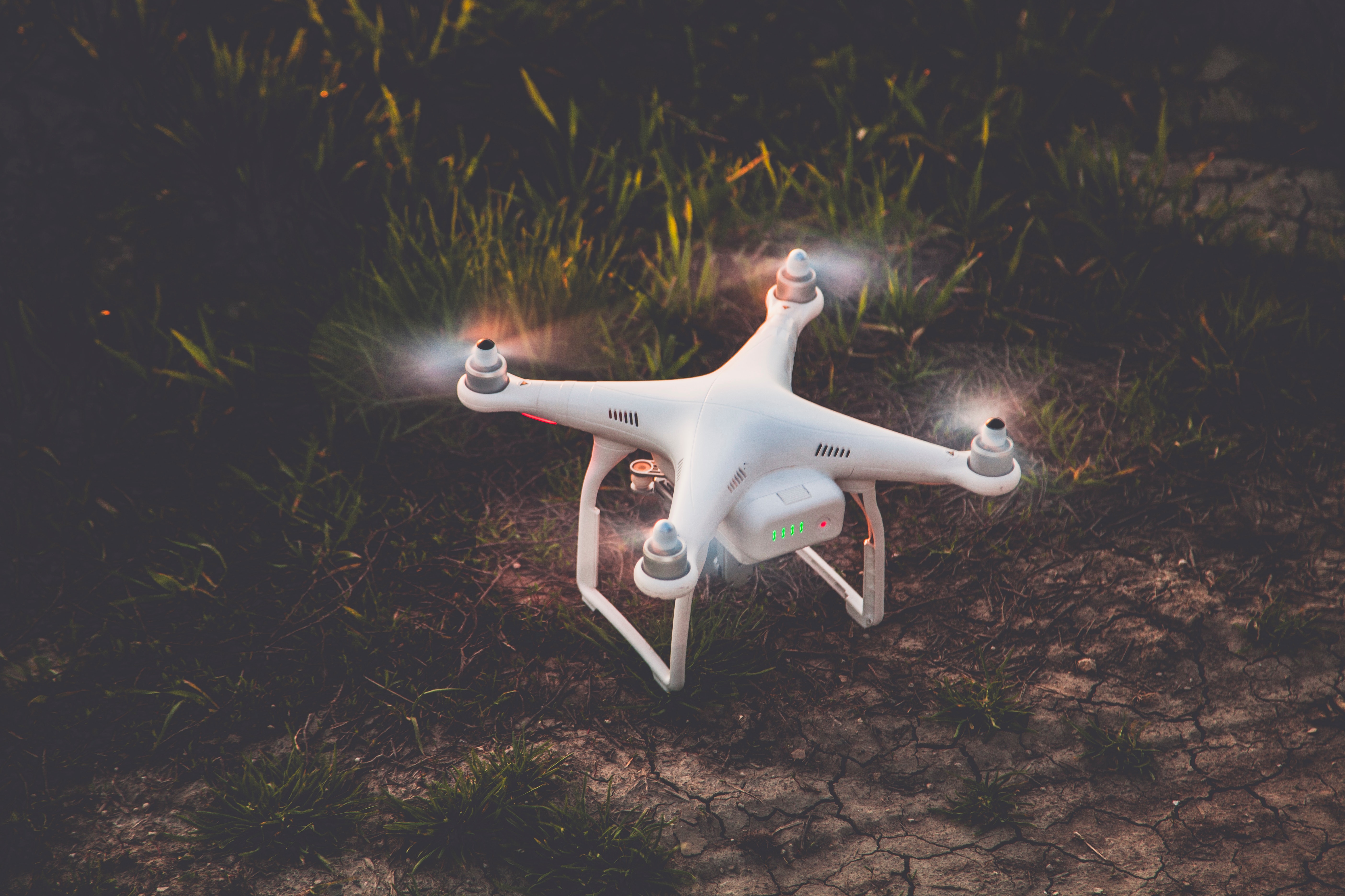
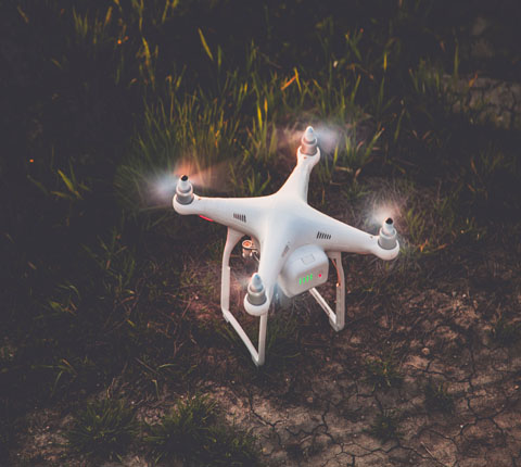
When it comes to using raster maps and drone imagery a few problems appear. Sometimes collaborators or clients are not familiar with spatial formats and the datasets are large and not easy to share. We wanted to know what’s the greatest problem geospatial experts face.
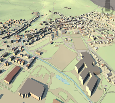
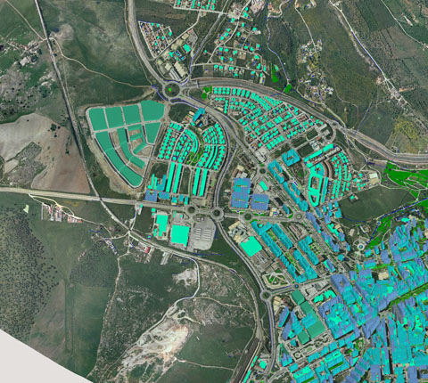
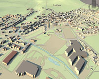
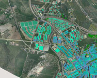
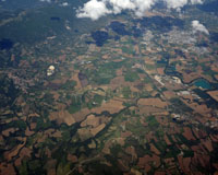
As you already know, raster datasets are large and probably stored on several devices. It’s is often the case in the drone mapping business, where the great potential of raster data rarely reaches its true potential, due to its size. If you want to share maps seamlessly with collaborators and clients, they have to be located in one place, and that place is the cloud. Now, let’s see how you can get all your geospatial data centralized using GIS Cloud.
A large amount of data in various formats is often difficult to distribute to a large number of users. Printed maps and large datasets on DVDs are slowing the information flow to the point of meaninglessness. This data is often restricted only to the use of experienced GIS staff who know how to operate software necessary for working with mapping data. Sharing raster maps and drone imagery online has many advantages. You can instantly share insights with a client and get direct feedback. Also, the only thing you need to view the data is a browser, be it on a smartphone, tablet or desktop. Up to now, we have shown you how to centralize your raster data with GIS Cloud, now let’s cover the sharing aspect. Sharing a map is easy, open it in Map Editor and share it with a user that has a license for the Map Viewer app. Any user who has a Map Editor license can also view privately shared maps.
Comments are disabled.
By RCO /3
By RCO /15

By RCO /11


rightclickorbit.com, one of the largest online repositories of maps since 2017, offers Geospatial services and products, specific to clients' requirements. RCO have a specialized team of cartographers, geographers, CAD designers, GIS experts and consultants, who provide GIS mapping services with quick turnarounds and accurate results.