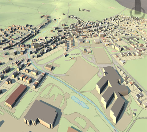
Partnering with today’s leading spatial software application providers, RCO can work with companies to automate business processes and improve overall performance via Application Development, Database and Data Development, Systems Integration and Information Technology Infrastructure.

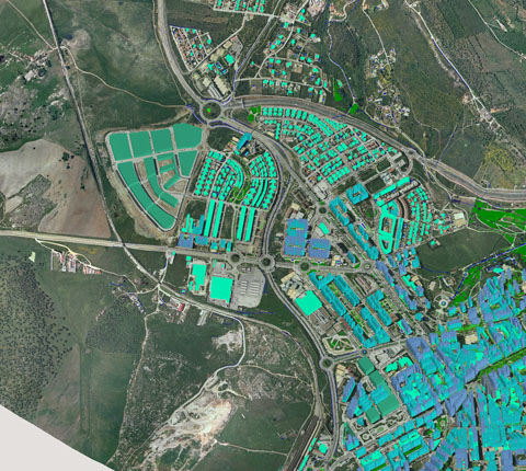
We have extensive set of skills in the area of GIS implementation as well as custom application development. We have cutting edge knowledge of data mapping, feature extraction/compilation, management of information and integrating enterprises through GIS expertise. We have worked with various government departments and developed numerous spatial applications which are seamlessly integrated to work flow.
Web mapping : In recent years there has been a proliferation of free-to-use and easily accessible mapping software such as the proprietary web applications Google Maps and Bing Maps, as well as the free and open-source alternative OpenStreetMap. These services give the public access to huge amounts of geographic data; perceived by many users to be as trustworthy and usable as professional information
Spatial analysis : GIS spatial analysis is a rapidly changing field, and GIS packages are increasingly including analytical tools as standard built-in facilities, as optional toolsets, as add-ins or 'analysts'. In many instances these are provided by the original software suppliers , while in other cases facilities have been developed and are provided by third parties. Furthermore, many products offer software development kits (SDKs), programming languages and language support, scripting facilities and/or special interfaces for developing one's own analytical tools or variants.
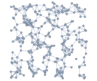
Geometric networks : Geometric networks are linear networks of objects that can be used to represent interconnected features, and to perform special spatial analysis on them. A geometric network is composed of edges, which are connected at junction points, similar to graphs in mathematics and computer science. Just like graphs, networks can have weight and flow assigned to its edges, which can be used to represent various interconnected features more accurately. Geometric networks are often used to model road networks and public utility networks, such as electric, gas, and water networks. Network modeling is also commonly employed in transportation planning, hydrology modeling, and infrastructure modeling.
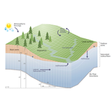
Hydrological modeling : GIS hydrological models can provide a spatial element that other hydrological models lack, with the analysis of variables such as slope, aspect and watershed or catchment area. Terrain analysis is fundamental to hydrology, since water always flows down a slope. As basic terrain analysis of a digital elevation model (DEM) involves calculation of slope and aspect, DEMs are very useful for hydrological analysis. Slope and aspect can then be used to determine direction of surface runoff, and hence flow accumulation for the formation of streams, rivers and lakes. Areas of divergent flow can also give a clear indication of the boundaries of a catchment.
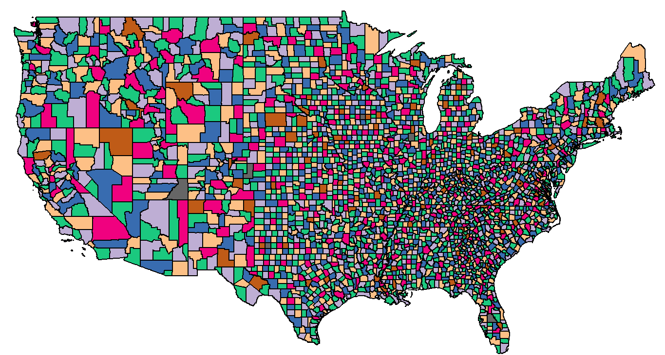
Map overlay : The combination of several spatial datasets (points, lines, or polygons) creates a new output vector dataset, visually similar to stacking several maps of the same region. These overlays are similar to mathematical Venn diagram overlays. A union overlay combines the geographic features and attribute tables of both inputs into a single new output. An intersect overlay defines the area where both inputs overlap and retains a set of attribute fields for each. A symmetric difference overlay defines an output area that includes the total area of both inputs except for the overlapping area.
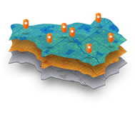
RCO expertise in GIS services which enables us to provide strategic advisory aligned with your business needs. We will help you choose the right solution.
rightclickorbit.com, one of the largest online repositories of maps since 2017, offers Geospatial services and products, specific to clients' requirements. RCO have a specialized team of cartographers, geographers, CAD designers, GIS experts and consultants, who provide GIS mapping services with quick turnarounds and accurate results.