8 NOV 2018 / By Right Click Orbit / 0 Comments

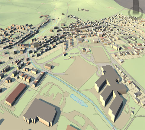
Geostatistics is a branch of statistics that deals with field data, spatial data with a continuous index. It provides methods to model spatial correlation, and predict values at arbitrary locations (interpolation). When phenomena are measured, the observation methods dictate the accuracy of any subsequent analysis. Due to the nature of the data (e.g. traffic patterns in an urban environment; weather patterns over the Pacific Ocean), a constant or dynamic degree of precision is always lost in the measurement. This loss of precision is determined from the scale and distribution of the data collection. To determine the statistical relevance of the analysis, an average is determined so that points (gradients) outside of any immediate measurement can be included to determine their predicted behavior. This is due to the limitations of the applied statistic and data collection methods, and interpolation is required to predict the behavior of particles, points, and locations that are not directly measurable.
Geocoding is interpolating spatial locations (X,Y coordinates) from street addresses or any other spatially referenced data such as ZIP Codes, parcel lots and address locations. A reference theme is required to geocode individual addresses, such as a road centerline file with address ranges. The individual address locations have historically been interpolated, or estimated, by examining address ranges along a road segment. These are usually provided in the form of a table or database. The software will then place a dot approximately where that address belongs along the segment of centerline. For example, an address point of 500 will be at the midpoint of a line segment that starts with address 1 and ends with address 1,000. Geocoding can also be applied against actual parcel data, typically from municipal tax maps. In this case, the result of the geocoding will be an actually positioned space as opposed to an interpolated point. This approach is being increasingly used to provide more precise location information.
Reverse geocoding is the process of returning an estimated street address number as it relates to a given coordinate. For example, a user can click on a road centerline theme (thus providing a coordinate) and have information returned that reflects the estimated house number. This house number is interpolated from a range assigned to that road segment. If the user clicks at the midpoint of a segment that starts with address 1 and ends with 100, the returned value will be somewhere near 50. Note that reverse geocoding does not return actual addresses, only estimates of what should be there based on the predetermined range.
Coupled with GIS, multi-criteria decision analysis methods support decision-makers in analysing a set of alternative spatial solutions, such as the most likely ecological habitat for restoration, against multiple criteria, such as vegetation cover or roads. MCDA uses decision rules to aggregate the criteria, which allows the alternative solutions to be ranked or prioritised.[31] GIS MCDA may reduce costs and time involved in identifying potential restoration sites.
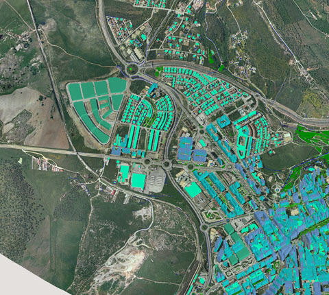
GIS or spatial data mining is the application of data mining methods to spatial data. Data mining, which is the partially automated search for hidden patterns in large databases, offers great potential benefits for applied GIS-based decision making. Typical applications include environmental monitoring. A characteristic of such applications is that spatial correlation between data measurements require the use of specialized algorithms for more efficient data analysis.
Comments are disabled.

By RCO /3

By RCO /15

By RCO /11


rightclickorbit.com, one of the largest online repositories of maps since 2017, offers Geospatial services and products, specific to clients' requirements. RCO have a specialized team of cartographers, geographers, CAD designers, GIS experts and consultants, who provide GIS mapping services with quick turnarounds and accurate results.