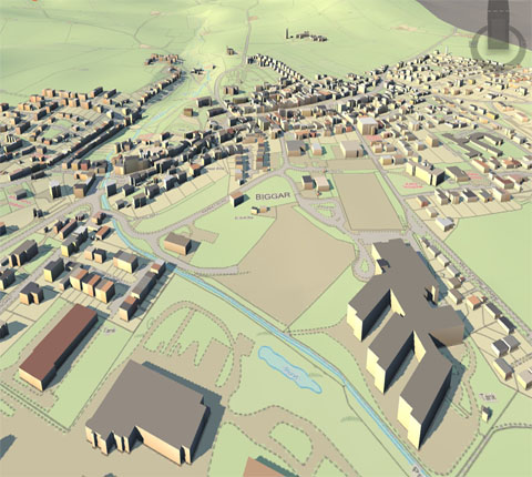
Geocoding boils down to a very simple concept. Essentially, it is the process of converting an address such as 7000 East Belleview Avenue, Greenwood Village, Colorado into geographic coordinates with a latitude (X) and longitude (Y): A point on a map. Geocoding enables data visualization for a fuller appreciation of its significance.
Although simple in concept, this task can be quite difficult and organizations have a hard time deploying reliable enterprise wide systems to handle it. Because geocoding is the foundation on which all of your spatial decisions are made, the results must respect a certain level of accuracy and precision depending on your needs. For example, a flood underwriting company will need more precise locations than a telemarketer.

When choosing the right geocoding solution for your business, many factors such as coverage, deployment (cloud or on premise) or cascading logic have to be evaluated. This is where RCO can help you choose the best fit for use solution. Once your data is geocoded to the appropriate level, you’ll have the ability to enrich it and use the information to understand complex location-based relationships and improve all aspects of your business.
Reverse Geocoding : Reverse geocoding is the process of using geographical coordinates (longitude/latitude) to find location description such as postal code, zip code, address, or place name. It is particularly used by mobile applications leveraging GPS coordinates provided by the device.This permits the identification of nearby street addresses, places, and/or areal subdivisions such as neighbourhoods, county, state, or country.

Batch Geocoding : Batch Geocoding Allows the user to upload multiple forward geocoder or reverse geocoder requests in a single file.The input data for batch geocoding requests consists of the addresses to be geocoded, while the input data for reverse batch geocoding is a set of locations defined by the WGS-84 compliant latitude and longitude geocoordinates and a radius around each location.
Benefits : Once the data is geocoded, it can be enriched and analyzed, and this is where the actual value of the geocoding efforts are realized. With geocoding, you’ll be able to:
RCO expertise in geocoding enables us to provide strategic advisory aligned with your business needs. We will help you choose the right solution from our expert.
rightclickorbit.com, one of the largest online repositories of maps since 2017, offers Geospatial services and products, specific to clients' requirements. RCO have a specialized team of cartographers, geographers, CAD designers, GIS experts and consultants, who provide GIS mapping services with quick turnarounds and accurate results.