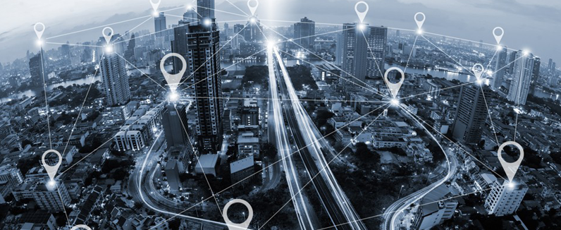
Geotagging or GeoTagging, is the process of adding geographical identification metadata to various media such as a geotagged photograph or video, websites, SMS messages, QR Codes or RSS feeds and is a form of geospatial metadata. This data usually consists of latitude and longitude coordinates, though they can also include altitude, bearing, distance, accuracy data, and place names, and perhaps a time stamp.

Geotagging can help users find a wide variety of location-specific information from a device. For instance, someone can find images taken near a given location by entering latitude and longitude coordinates into a suitable image search engine. Geotagging-enabled information services can also potentially be used to find location-based news, websites, or other resources.[2] Geotagging can tell users the location of the content of a given picture or other media or the point of view, and conversely on some media platforms show media relevant to a given location.
Geotagging has become a popular feature on several social media platforms, such as Facebook and Instagram. Facebook users can geotag photos that can be added to the page of the location they are tagging. Users may also use a feature that allows them to find nearby Facebook friends, by generating a list of people according to the location tracker in their mobile devices.[3] Instagram uses a map feature that allows users to geotag photos. The map layout pin points specific photos that the user has taken on a world map.
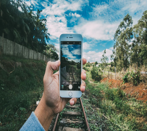
There are two main options for geotagging photos; capturing GPS information at the time the photo is taken or "attaching" the photograph to a map after the picture is taken. In order to capture GPS data at the time the photograph is captured, the user must have a camera with built in GPS or a standalone GPS along with a digital camera. Because of the requirement for wireless service providers in United States to supply more precise location information for 911 calls by September 11, 2012,[4] more and more cell phones have built-in GPS chips. Most smart phones already use a GPS chip along with built-in cameras to allow users to automatically geotag photos. Others may have the GPS chip and camera but do not have internal software needed to embed the GPS information within the picture. A few digital cameras also have built-on or built-in GPS that allow for automatic geotagging.[5] Devices use GPS, A-GPS or both. A-GPS can be faster getting an initial fix if within range of a cell phone tower, and may work better inside buildings. Traditional GPS does not need cell phone towers and uses standard GPS signals outside of urban areas. Traditional GPS tends to use more battery power. Almost any digital camera can be coupled with a stand-alone GPS and post processed with photo mapping software, to write the location information to the image's exif header.
Geoblogging attaches specific geographic location information to blog entries via geotags. Searching a list of blogs and pictures tagged using geotag technology allows users to select areas of specific interest to them on interactive maps.[16] The progression of GPS technology, along with the development of various online applications, has fueled the popularity of such tagged blogging,[citation needed] and the combination of GPS Phones and GSM localization, has led to the moblogging, where blog posts are tagged with exact position of the user. Real-time geotagging relays automatically geotagged media such as photos or video to be published and shared immediately. For better integration and readability of geotags into blog texts, the meetag syntax has been proposed, which transforms any word, sentence, or precise geolocalization coordinates prefixed with an underscore into a 'meetag'. It not only lets one express a precise location but also takes in account dynamically changing geolocations.
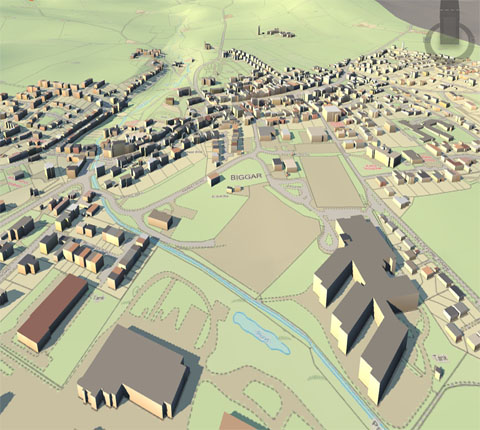
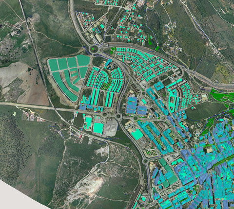
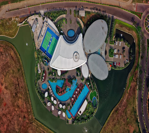
rightclickorbit.com, one of the largest online repositories of maps since 2017, offers Geospatial services and products, specific to clients' requirements. RCO have a specialized team of cartographers, geographers, CAD designers, GIS experts and consultants, who provide GIS mapping services with quick turnarounds and accurate results.