12 OCT
ByRight Click Orbit
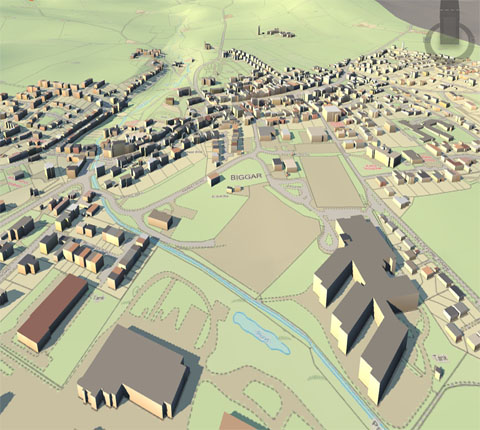
Integrated Geo Systems (IGS) is a computational architecture system developed for managing geoscientific data through systems and data integration. Geosciences often involve large volumes of diverse data which have to be processed by computer and graphics intensive applications. The processes involved in processing these large datasets are often so complex that no single applications software can perform all the required tasks. Specialized applications have emerged for specific tasks. To get the required results ...
Read More >>
6 SEP
ByRight Click Orbit
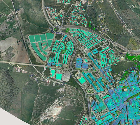
When it comes to using raster maps and drone imagery a few problems appear. Sometimes collaborators or clients are not familiar with spatial formats and the datasets are large and not easy to share. We wanted to know what’s the greatest problem geospatial experts face More than 50% of GIS users say that difficulty in sharing and handling large datasets is the hardest part of their workflow. And it’s no wonder....
Read More >>
5 NOV
ByRight Click Orbit
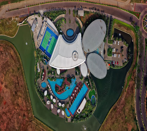
The ideal solution for this kind of fieldwork is to use Mobile Data Collection as it provides a fast and straightforward collection and inspection functions. Further analysis of collected data can be done in Map Editor. To collect information it was necessary to tour the tram stations of the observed tram lines. Assets included in the mobile survey were the existence of displays, shelters, benches and the map of all tram lines at tram stations. Tram stations with benches or displays were categorized by its condition and maintenance ....
Read More >>rightclickorbit.com, one of the largest online repositories of maps since 2017, offers Geospatial services and products, specific to clients' requirements. RCO have a specialized team of cartographers, geographers, CAD designers, GIS experts and consultants, who provide GIS mapping services with quick turnarounds and accurate results.