20 JAN
ByRight Click Orbit
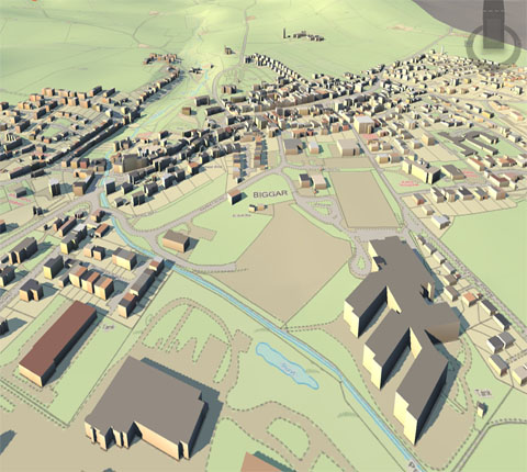
Drawing is considered to be a universal language which is understood by most of people as compared to same piece of information running into pages of text. Drafting in similar lines is a technical drawing generally used by designers to graphically present ideas and represent objects necessary for a designed environment. A set of these drafted illustrations are composed of construction document. The technical sketch, mechanical drafting and computer-aided drafting all fall under the umbrell......
Read More >>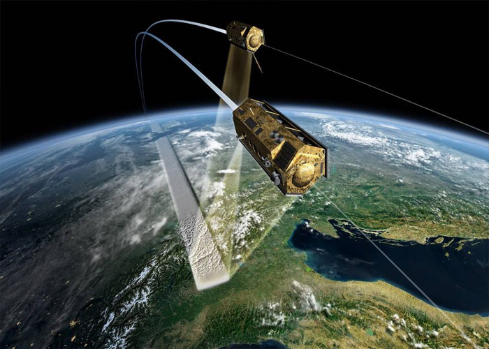
5 DEC
ByRight Click Orbit
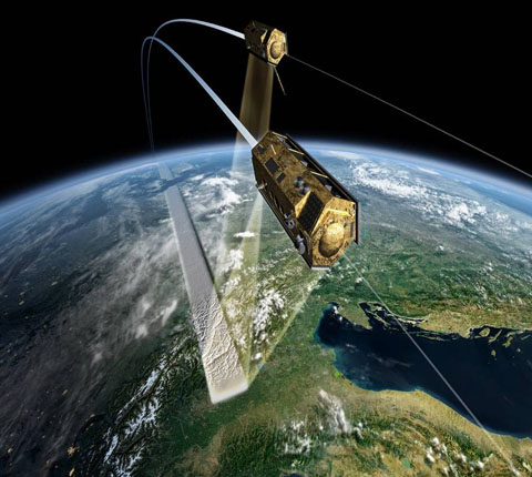
Advanced Remote Sensing is an application-based reference that provides a single source of mathematical concepts necessary for remote sensing data gathering and assimilation. It presents state-of-the-art techniques for estimating land surface variables from a variety of data types, including optical sensors such as RADAR and LIDAR. Scientists in a number of different fields including geography, geology, atmospheric science, environmental science, planetary science and ecology will have access to critically-important data ....
Read More >>
8 NOV
ByRight Click Orbit
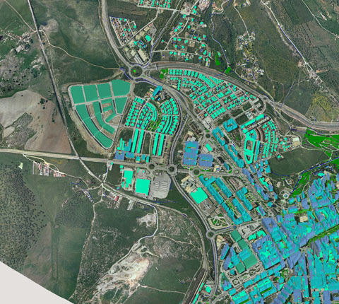
Geostatistics is a branch of statistics that deals with field data, spatial data with a continuous index. It provides methods to model spatial correlation, and predict values at arbitrary locations (interpolation). When phenomena are measured, the observation methods dictate the accuracy of any subsequent analysis. Due to the nature of the data (e.g. traffic patterns in an urban environment; weather patterns over the Pacific Ocean), a constant or dynamic degree of precision is always lost in the measurement....
Read More >>rightclickorbit.com, one of the largest online repositories of maps since 2017, offers Geospatial services and products, specific to clients' requirements. RCO have a specialized team of cartographers, geographers, CAD designers, GIS experts and consultants, who provide GIS mapping services with quick turnarounds and accurate results.